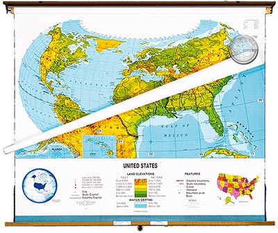
Physical Political - Best Seller!
Beschreibung:
A full classroom package:
A Physical Political Globe and a
U.S./World Physical Political Combo Map
Outstanding shaded relief clearly portrays natural
and physical characteristics. Seven color shades
illustrate both land elevation and water depth.
Political information includes state and national
boundaries, lakes, capitols, major cities, mountains,
deserts and rivers. Both polar projections included.
Printed on tough, non-tear material and mounted
on heavy duty spring rollers with brackets and
backboard. 51" x 51" Markable.
Unsere unschlagbare Preis-Politik:
Beste Qualität zum günstigsten Preis!
Bestellformular Download
Was ist eine Echtholzbestäbung?
Was ist ein Springroller?

